Explanatory note
(This note is not part of the Order)
This Order makes minor changes to district boundaries in the metropolitan county of West Yorkshire, affecting the metropolitan borough of Kirklees and its boundary with the cities of Bradford and Leeds. No parishes are affected.
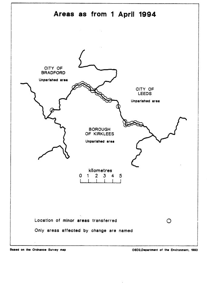
The map and table at the end of this Note give a general guide to the changes made. The table also gives an approximate figure for the total area of land transferred, and for the population affected.
For full details of the transfers made, the Order maps (described in article 2) should be inspected. Any person may inspect them at any reasonable time at the offices of the council for each borough or city affected, and also at the offices of the Secretary of State for the Environment located in 2, Marsham Street, London SW1P 3EB.
The Local Government Area Changes Regulations 1976 (S.I. 1976/246, amended by S.I. 1978/247) contain general provisions regarding the effect of orders such as this one.
TABLE
| Transfer(s) | Description of changes |
|---|---|
| Between Bradford and Kirklees (Articles 3 and 4) Transferred from Bradford to Kirklees Area: 10 hectares Population: 40 From Kirklees to Bradford Area: 5 hectares Population: 20 | Transfer to unite Tong Moor in Kirklees, and transferring area south of dismantled railway (including part of Hodgson Lane) to Kirklees. Transfer to unite Model Farm, Toftshaw Lane in Bradford. Realignments—
|
| Between Kirklees and Leeds (Articles 4 and 5) From Kirklees to Leeds Area: 20 hectares Population: 200 From Leeds to Kirklees Area: 25 hectares Population: 5 | Realignments—
|